
Lexington County ZIP Code Coverage
County GIS identifies 25 feature records representing 18 unique postal codes in Lexington County. The table uses the county layer's postal-community labels. It does not identify incorporated limits, actual post-office stations, or every place reached by a delivery route. USPS should confirm one deliverable address, while OneMap should confirm the parcel, county context, and municipal route. Several codes have more than one county GIS feature record, which is a clear reason not to draw a city-shaped boundary from a ZIP label.
| ZIP | Area covered in county GIS | Post office | County GIS and records note |
|---|---|---|---|
| 29006 | Batesburg postal community | Confirm with USPS | Use parcel mapping to distinguish county and local jurisdiction. |
| 29033 | Cayce postal community | Confirm with USPS | City or county record route depends on the physical parcel. |
| 29036 | Chapin postal community | Confirm with USPS | Verify the complete address and county context. |
| 29053 | Gaston postal community | Confirm with USPS | Rural mailing information can differ from situs information. |
| 29054 | Gilbert postal community | Confirm with USPS | Two GIS feature records do not make one contiguous city-shaped area. |
| 29063 | Irmo postal community | Confirm with USPS | Five GIS feature records; a postal label does not establish a municipality. |
| 29070 | Leesville postal community | Confirm with USPS | The postal area may extend across county context. |
| 29072 | Lexington postal community | Confirm with USPS | Compare the parcel map for a town or unincorporated route. |
| 29073 | Lexington postal community | Confirm with USPS | A distinct postal code from 29072; the parcel still controls records routing. |
| 29075 | Little Mountain postal community | Confirm with USPS | Confirm the target parcel before requesting records. |
| 29112 | North postal community | Confirm with USPS | Three GIS feature records; postal geography is not one municipal boundary. |
| 29123 | Pelion postal community | Confirm with USPS | Use GIS and TMS information before a records request. |
| 29160 | Swansea postal community | Confirm with USPS | Verify municipal and county context. |
| 29169 | West Columbia postal community | Confirm with USPS | Distinguish this code from adjacent 29170 and 29172 by physical jurisdiction. |
| 29170 | West Columbia postal community | Confirm with USPS | The city label alone is not enough to choose a custodian. |
| 29172 | West Columbia postal community | Confirm with USPS | Confirm the street address with USPS and GIS. |
| 29210 | Columbia postal community | Confirm with USPS | The county layer includes this postal community; the parcel establishes jurisdiction. |
| 29212 | Columbia postal community | Confirm with USPS | The county layer includes this postal community; the parcel establishes jurisdiction. |
The county's official OneMap ZIP-code layer is the source for the postal-community coverage. It does not classify PO-box-only, unique, or institutional codes and does not publish a ZIP realignment timeline.
USPS for Lexington County ZIP Codes
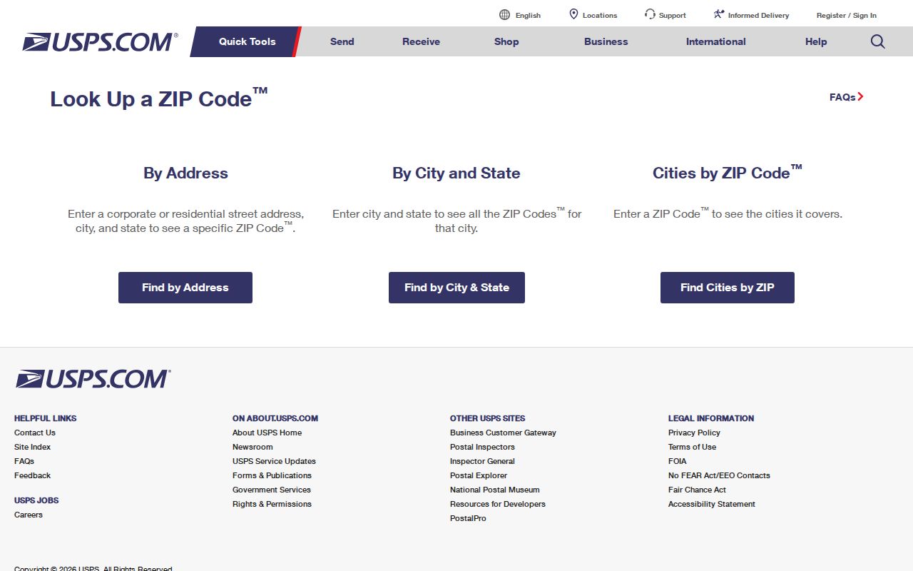
The USPS ZIP Code Lookup is the authoritative delivery check for a complete street address. Use the normalized mailing result before carrying an address into county systems. It answers the postal question. It does not decide whether the location is within a town, in unincorporated Lexington County, or within another local records jurisdiction. That separate question belongs to the parcel map and the office that holds the underlying record.
The official USPS lookup is shown below. Enter the full street address rather than assuming a postal community label covers every nearby address.
Keep the USPS-normalized mailing address beside the county's physical parcel address. A difference may be ordinary postal routing, not evidence that the parcel or its municipal route is wrong.
Lexington County ZIP Code Directory Map
Lexington County Online Mapping provides the map-entry route and identifies Planning and GIS as the address and mapping contact. In OneMap, find a parcel with its full address or TMS, click the parcel, and inspect its map context before selecting a county or municipal office. The map is a general-information resource, not a legal survey. It can show why an address using a familiar postal city still needs a parcel-based jurisdiction check.
OneMap has a current parcel service and historic parcel layers for 2000 through 2025. Those layers help compare boundaries and context across time, but they do not prove a former owner's identity or turn a postal code into a resident list.
Note: USPS confirms delivery routing, while GIS confirms parcel geography and local context. Use both sources before contacting a records custodian.
Search a Lexington County ZIP Code
A ZIP code can narrow a place, but it does not offer a countywide people list. Start with the full address in USPS, then use OneMap to locate the parcel and record its TMS. Next, open the county Property Search with the Property Location or Tax Map field. The property interface has no ZIP filter, so do not claim a ZIP-wide property result or try to substitute a postal code for an address or TMS. Once the parcel is identified, its records can be checked one at a time.
- Confirm the deliverable mailing address with USPS and retain the returned postal format.
- Find the physical parcel in OneMap by full address or TMS, then note the map context and jurisdiction.
- Use the Property Search's Property Location or Tax Map field to open the assessment record for that parcel.
- Compare the property card's situs, owner mailing address, legal description, and deed reference without treating an owner field as a household list.
- When a full named-street chain is needed, continue with the Lexington County street directory process.
The owner, location, TMS, and deed fields are tied to a parcel search. The county search screen does not document a ZIP field, and the voter self-service system is identity-gated rather than a public postal browse.
Lexington County ZIP Code Jurisdiction
ZIP codes are USPS delivery-routing designations, not government boundaries. A postal city can cross an incorporated line, and a county line can cross a postal area. That matters in Lexington County, where the table includes Cayce, Irmo, West Columbia, Columbia, and other postal communities that cannot alone select the correct permitting, police, court, school, or records office. Ask the county Planning and GIS staff about addressing and map corrections at (803) 785-1454 when a parcel's route is unclear.
The Town of Lexington directs real-estate tax records to the county, while town-specific address files may require the town's own records path. County Property Search and GIS establish the parcel bridge first. A ZIP code remains useful for mailing verification, but it does not replace that jurisdiction check.
Address Labels for Lexington County ZIP Codes
Postal terms and parcel terms are both useful, but they do different work. The County Assessor ties the physical situs address to assessment and mapping. Tax notices use the owner address on file. ROD deeds and plats use the legal description that binds the land record. The county's layer supplies a postal community label, but only a full address check and the selected parcel can join those labels responsibly.
- ZIP versus ZIP+4
- A ZIP identifies a delivery area; ZIP+4 adds a more precise delivery segment. Neither is a parcel boundary.
- PO-box ZIP
- A code used for post-office boxes rather than a conclusion about a physical parcel. The county layer does not classify these codes.
- Unique ZIP
- A code assigned to a single high-volume recipient or institution. The county layer does not identify such classifications.
- Carrier route
- A mail-delivery sequence used by USPS. It is not a county jurisdiction or a land-record identifier.
For a subdivision, a site may also be described through a lot, block, phase, plat, or TMS. The recorded plat, not a ZIP map, is the recordable layout for that land.
Lexington County ZIP Code Records
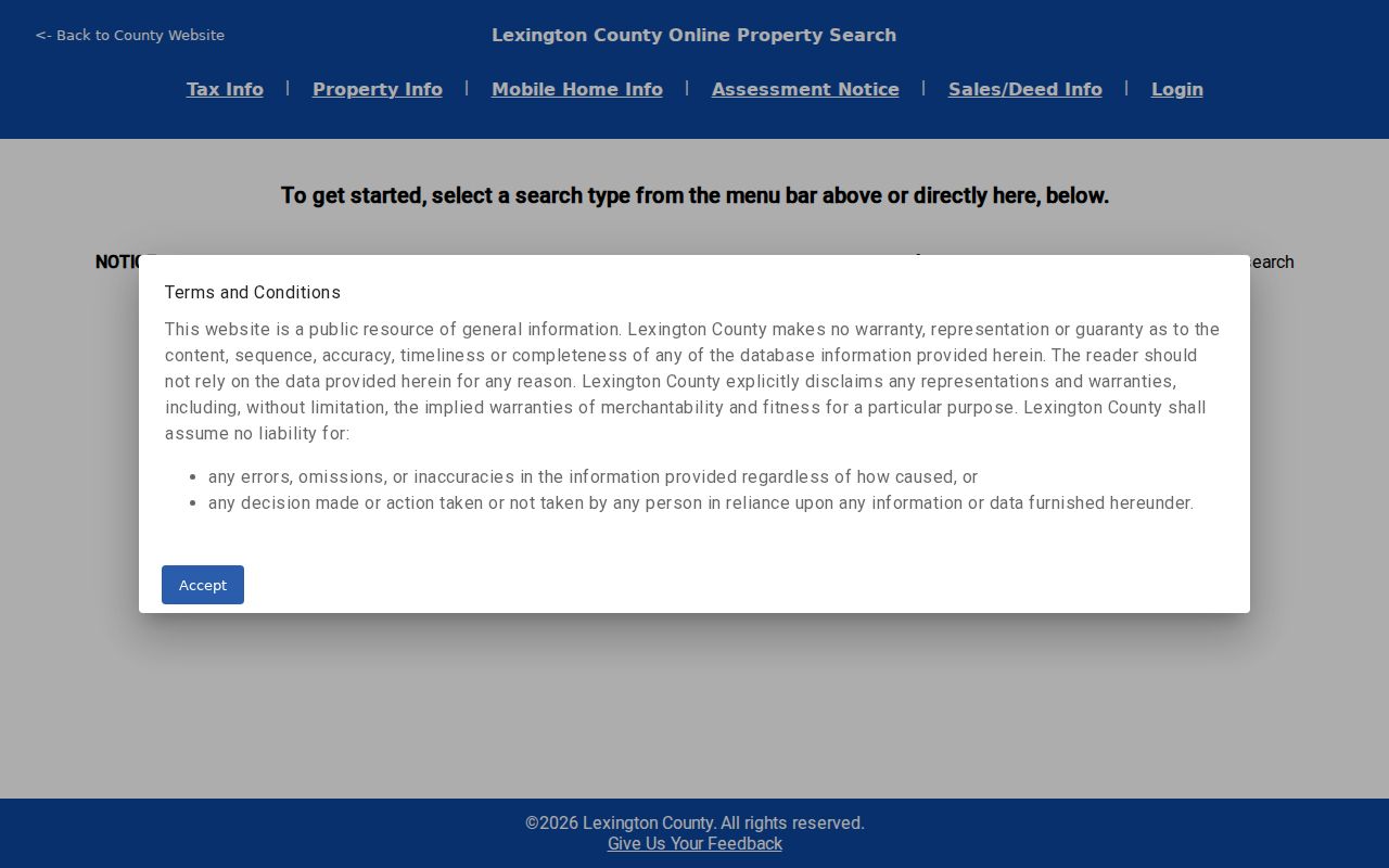
The Lexington County Property Search can confirm an identified parcel's assessment and deed references, but it cannot search every property in a postal code. Its pre-search gateway requires acceptance of the county disclaimer. The verified form fields below show the useful inputs and the important absence. Use Property Location or Tax Map after USPS and GIS have narrowed the address.
| Property Search field | What it does | ZIP-code boundary |
|---|---|---|
| Property Location | Searches an address through optional autocomplete. | Use a full situs address, not a ZIP-wide query. |
| Tax Map | Searches an identified TMS parcel. | A tax map number is a parcel identifier, not a postal identifier. |
| Property Owner | Searches a tax-owner name in Last Name, First Name or business-name format. | Owner information does not establish occupancy. |
| Deed Book and Deed Page | Works as a paired criterion when other search terms are absent. | Use a known recorded reference, not a ZIP code. |
| ZIP Code | No visible Property Search field was captured. | Do not promise a ZIP-filtered property result. |
The county Property Search landing screen is the source for the image below. Its result card separates Address from Property Address, another reason to compare literal labels with the USPS address and map.
When the parcel record supplies a deed book/page or legal description, the ROD is the next land-record source. ROD searching is principally by recorded parties, document details, and legal description, rather than a postal code.
Custodians Beyond a Lexington County ZIP Code
A postal code does not choose the record keeper. The Register of Deeds holds deeds, plats, mortgages, liens, and other recorded land instruments. Its current online service requires an account, while Suite 301 remains the counter route for records questions. The Assessor holds ownership and tax-mapping records, and Planning and GIS supports mapping and addressing. Circuit, Family, General Sessions, and Magistrate matters have their own court routes. Each search starts with the actual record type and the physical jurisdiction.
South Carolina's MySCVotes service is designed for an individual's registration session and requires county, name, date of birth, and the last four digits of a Social Security number. It is not a ZIP-code resident browser. Official voter-list rules also have their own qualification and use restrictions, so a postal label is not a substitute for that process.
Lexington County ZIP Map Caution
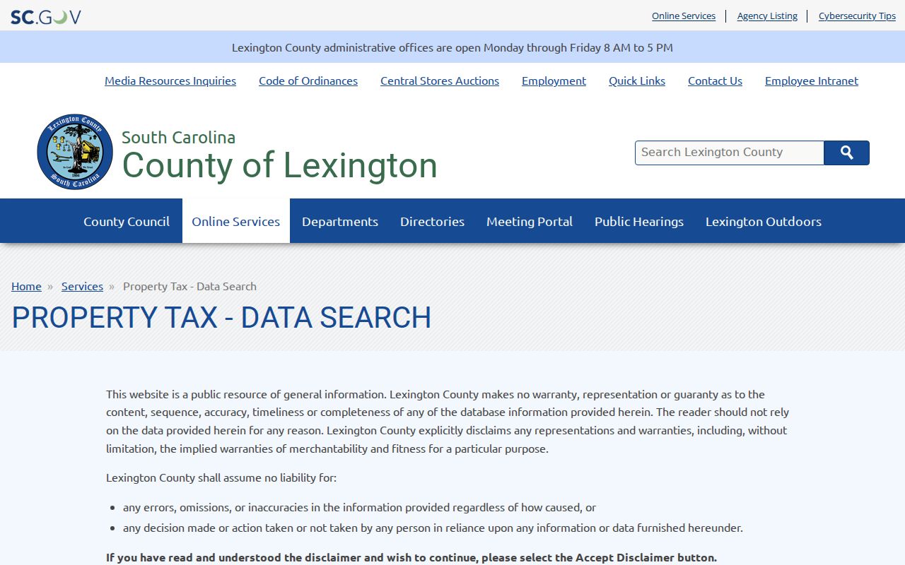
The county Property Tax Data Search gateway shows the warning that precedes county property data. Keep the date when an assessment record is viewed. Lexington County completed a countywide reassessment in 2025, so values, property details, and owner or mailing fields should be treated as a dated administrative snapshot. A deed's recording date tracks a document event, which is a different kind of evidence.
The county disclaimer gateway is shown below because the warning is part of the route to property records. If USPS and GIS conflict with a property card, resolve the physical parcel with Planning and GIS or the Assessor before relying on a mailing label.
The Planning and GIS office is in Suite 302 and the Assessor is in Suite 201 at 212 South Lake Drive. County offices are normally open Monday through Friday, 8 a.m. to 5 p.m.; call before visiting for a record-specific question.
Note: Multiple GIS records for 29054, 29063, and 29112 make a full-address and parcel check more reliable than a ZIP label alone.