
Trace a Lexington County Street
A useful Lexington County by-address search follows the parcel rather than trying to turn a road name into a household roster. Enter a complete physical address in the county property interface, then compare the returned property address with the map before using any owner field. Copy the tax map number, also called the TMS, and the legal description exactly as displayed. Those identifiers help distinguish a similar address, a renamed road, or a subdivision lot from another parcel with a similar owner name.
- Open the county Property Search, accept its accuracy and timeliness notice, and use Property Location or a tax map number to find one parcel.
- Record the TMS, property address, owner label, deed book and page if shown, and the legal or subdivision description.
- Search the same address, TMS, or road name in OneMap. Click the parcel and compare its location, boundaries, and visible links with the property card.
- Use the owner and legal description to reach the Register of Deeds index. The present owner is commonly the grantee on an acquisition document, while the prior owner may be the grantor.
- For a municipal permit, zoning, or code record, first identify whether the address is in the Town of Lexington or another local jurisdiction, then ask that office for its existing address file.
MySCVotes is not a by-street tool. Its login is an identity-gated service for an individual voter, so it cannot fill the gap between a parcel owner and everyone who may be associated with an address.
Lexington County Street Directory Property Search
Lexington County Property Search begins with a county disclaimer and is the strongest current address-to-parcel handoff. It offers Property Location, Property Owner, Tax Map, Tax Year, deed book and page, acreage limits, land use, and sorting controls. The owner field expects a last-name, first-name format or a business name. Its results can be downloaded as CSV, but the interface has no ZIP-code filter. Read the card as a tax and assessment record, not proof that a named owner occupies the site.
| Property Search field | Use for a street search | Format or limit |
|---|---|---|
| Property Location | Find a physical or situs address | Optional autocomplete field. |
| Tax Map | Return to one identified parcel | Optional TMS identifier. |
| Property Owner | Check the tax owner name | Last Name, First Name or business name. |
| Deed Book and Deed Page | Connect a property card to a recorded reference | Use both fields when no owner, location, or TMS is supplied. |
| CSV download | Save displayed results for careful comparison | Verify every row against its linked parcel. |
The official Property Search screen shown below is the county entry point after the terms step. The result card separates Address and Property Address, so preserve the label rather than assuming the first address is the physical location.
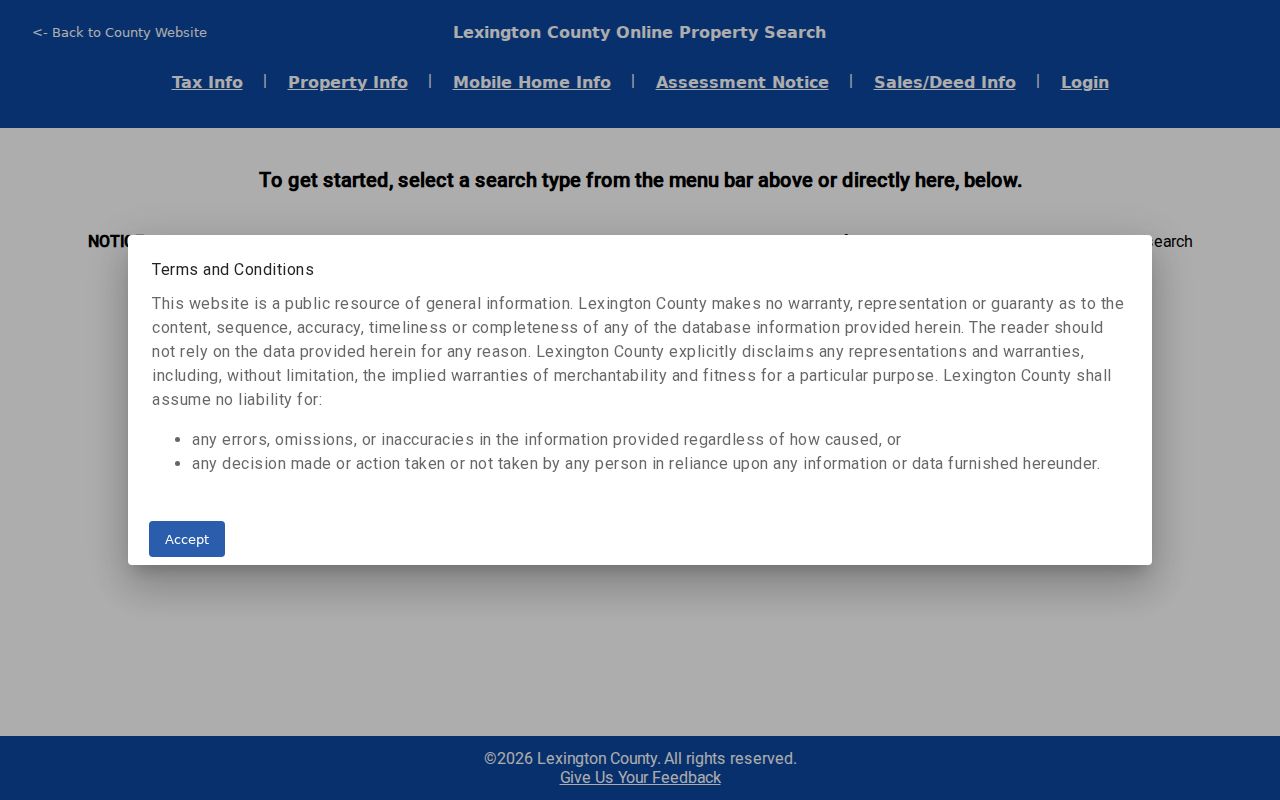
A parcel card can also list acreage, land use, assessment data, sale information, plat references, and deed book/page fields. Each field is useful for comparison, but none replaces a direct statement from the custodian about the record's meaning.
On a selected TMS, the Property Information area can include TMS, tax year, owner, Address, Property Address, legal description, deed book/page, plat, land-use code, and tax district. Assessment and building details can include lots, acreage, taxable values, year built, rooms, heating or cooling, and other property characteristics where applicable. Sale Information can show sale date, seller, buyer, price, and book/page. A homestead or legal-residence field is a tax classification at a point in time, not a household roster.
Lexington County Street Directory OneMap
Lexington County Online Mapping leads to OneMap after the GIS disclaimer. OneMap's locator accepts TMS, Address, or Road Name and returns up to ten suggestions. Its visible tools include Layers, Legend, Basemaps, Measurement, Bookmarks, Query, Select, Filter, Print, Share, and Full Screen. For a Lexington County by-street task, use the viewer to sequence parcels along frontage, then open each selected parcel one at a time. Historic parcel layers cover 2000 through 2025 for boundary context, not a conclusive history of ownership.
The county GIS entry page is the source for the image below. The county describes its maps as general-information material, so a parcel outline is not a legal survey and should be checked against the recorded plat or deed where precision matters.
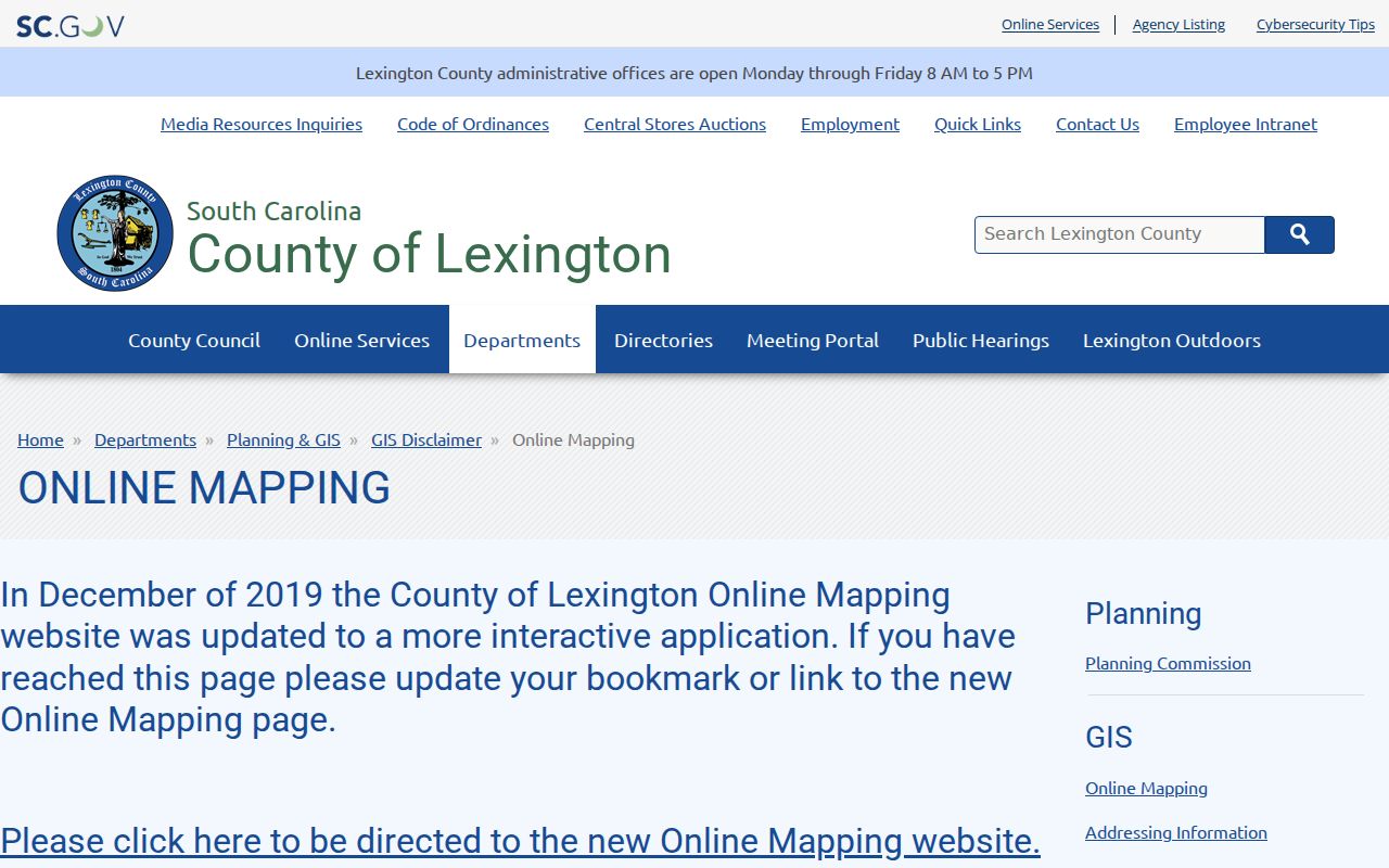
Use a map click to confirm the physical parcel before carrying a TMS into Property Search or a legal description into the deed index. Planning and GIS can also answer addressing and map-support questions at (803) 785-1454.
Note: OneMap helps line up land along a road, but its labels and parcel geometry remain subject to the county's mapping disclaimer.
Address Labels in Lexington County
Three labels keep a Lexington County by-address search from drifting. The situs or physical address identifies where a parcel sits. The owner mailing address is where tax notices are sent and may be a post-office box, agent, estate, or another correspondence address. The legal description and TMS identify the land in deeds, plats, and county mapping. A street name can change or a number can be absent from an older document, while the legal description can carry the parcel trail across those changes.
- Parcel
- A distinct tract recorded and administered for mapping and taxation, commonly reached through a TMS.
- Situs address
- The physical location attached to a parcel for assessment and mapping, not necessarily the owner's mail address.
- Plat
- A recorded map that can show lots, blocks, streets, and subdivision layout.
- Criss-cross directory
- An address-arranged directory format that can be a historical clue when a library collection actually holds the needed year.
Recorded plats require review and approval before recording under the county's Subdivision FAQ. Restrictions and covenants may be recorded at ROD, but they explain lot context rather than supplying a list of private association members.
Lexington County Street Deed Chain
Lexington County Register of Deeds Online Services is the keeper's current route for deeds, plats, mortgages, liens, satisfactions, powers of attorney, and other recorded land instruments. The ROD reports data from August 1, 1984 to current and images from January 1, 1997 to current. The live portal now requires a username and password. Its earlier Guest-search instructions are legacy guidance, not a promise of current public controls.
The ROD login screen below shows the account requirement and account-creation controls. Start the chain with the property card's legal description, lot, subdivision, TMS, or book/page, not a modern street-number string.
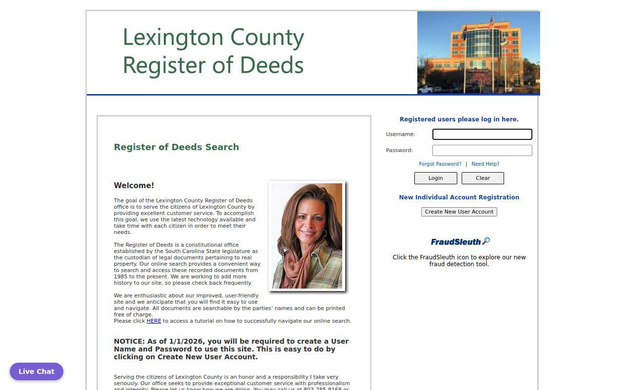
In an acquisition deed, compare the grantee, grantor, recording date, instrument or book/page number, and legal description. Then search the prior grantor as an earlier grantee and repeat the legal-description check. The ROD does not perform title or lien searches and does not provide legal advice.
Save each index entry as an index entry, not proof of a current address. Useful details include the parties, document type, recording date, instrument number or book/page, legal description, subdivision or lot cues, and whether an image is linked. Where an image is available, it may show execution and recording stamps, witnesses, a notary, consideration or tax-stamp clues, a return address, and the legal description. Sensitive identifiers remain subject to statutory redaction, and the full current result catalog is not visible without an account.
Street Records Across Lexington County
Several county and municipal records are keyed to a parcel or an address, but they reveal different facts. The table keeps the by-address process focused on the source that actually holds each item. A record that names an owner, applicant, or party should be described by that role, not recast as a household list.
| Address-keyed source | Custodian | Useful result | Access route and boundary |
|---|---|---|---|
| Assessment/property card | County Assessor | TMS, owner, situs, mailing address, assessment, parcel characteristics | Property Search or Suite 201; owner and mailing fields do not establish occupancy. |
| Parcel map | Planning and GIS | Parcel location, boundary, road context, visible layers | OneMap or Suite 302; general-information mapping only. |
| Recorded land index | Register of Deeds | Parties, recording facts, document type, legal description, book/page | Account portal or Suite 301; inspect the record and its redactions. |
| Tax service | Treasurer and Delinquent Tax | Tax notice and status process | County service or counter; ask the office about current balances and fees. |
| Permit or inspection file | County or the relevant municipality | Work, application, contractor, applicant, address, and date fields where public | Route by physical jurisdiction; it is not a resident roll. |
For a current address, the Assessor, ROD, Planning and GIS, and Tax Mapping counters are all in the Administration Building at 212 South Lake Drive. That shared location makes the TMS a practical handoff between the offices.
Lexington County Street Permit Routing
Street-specific permits and code records follow the physical jurisdiction. The county's departments page is the first routing point for an unincorporated address. For an address inside the Town of Lexington, the town uses NextRequest for public-record requests and allows a requester to identify Building Code, Zoning Code, Utilities, Transportation, or another existing record category. Use the exact street address, date range, and any permit number in a focused request.
County Building Services, municipal building offices, and Planning staff can identify the correct route before a request is made. The Town directs real-estate tax questions back to the county, which is why a town request cannot substitute for the Assessor, ROD, or GIS parcel path.
A Lexington County Street Research Limit
A Lexington County by-address search can connect a parcel to tax ownership, map context, recorded parties, and selected address files. It cannot identify every person who stays at an address. Driver-license data, utility customer data, and protected addresses are not a public street roster. South Carolina's individual voter service requires county, name, date of birth, and the last four digits of a Social Security number for the person's own session. It is not a tool for searching a road or a stranger.
The Lexington County FOIA request channel can request an existing county record, but it cannot force a public body to create a current-resident list or bypass confidential fields. South Carolina FOIA exemptions also protect classes such as medical, adoption, and library-use records.
Lexington County Street Counter Handoff
The county Property Tax Data Search gateway starts with the no-warranty notice that applies before public property data. Keep a viewed-on date with assessment details, particularly after the countywide reassessment completed in 2025. A recorded deed marks a document event, while an assessment card is an administrative and tax snapshot. They should be read together, not treated as the same kind of proof.
The county disclaimer gateway is shown here because accepting the warning is part of the property-search process. If the online result is incomplete, take the TMS, legal description, and known book/page to the appropriate counter rather than guessing from a map label.
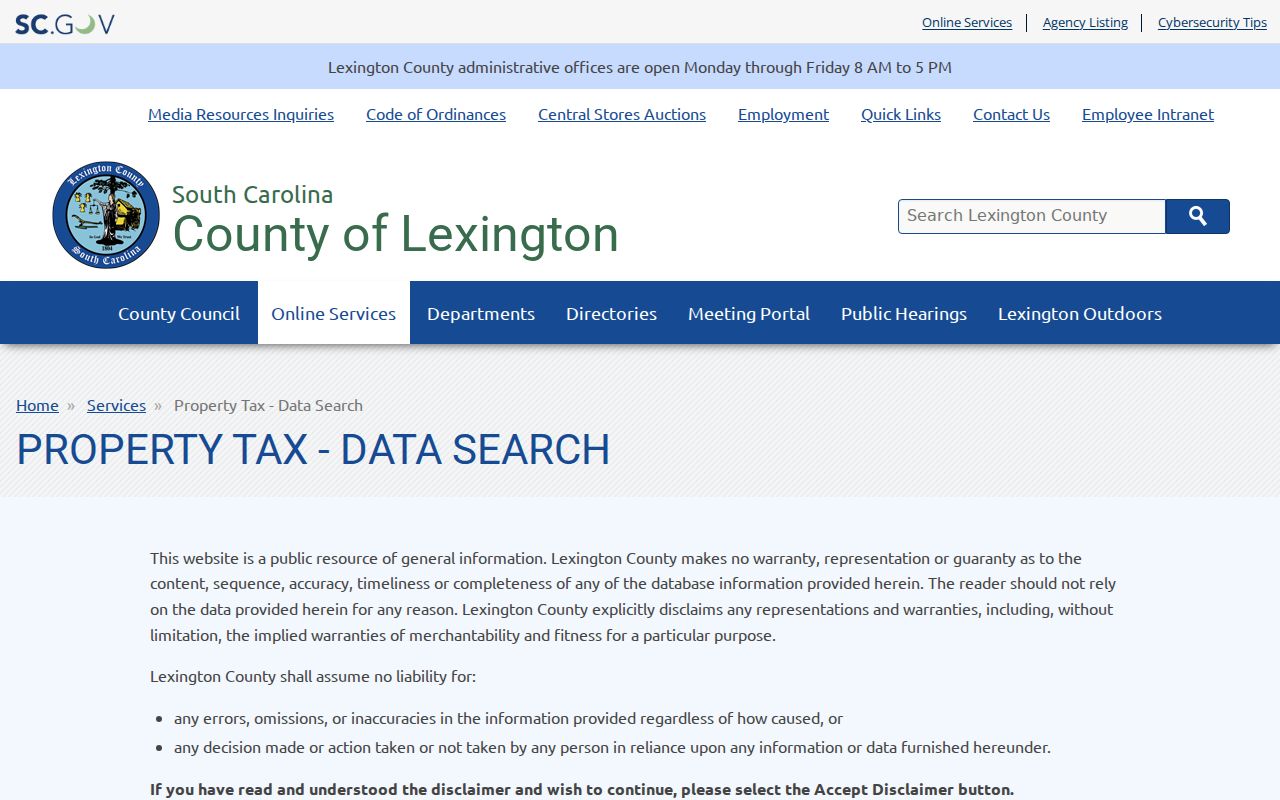
The ROD counter is Suite 301, the Assessor is Suite 201, and Planning and GIS is Suite 302 at 212 South Lake Drive. County offices are normally open Monday through Friday, 8 a.m. to 5 p.m.; call the relevant counter before making a records trip.
The ROD says online document printing is free. Its current counter fee sheet lists ordinary pages at $0.50 and a certified true copy at $10 plus $0.50 per page; certified copies must be printed at the ROD office. Confirm current charges and the exact copy format with the counter before ordering a record.