
Lexington Neighbor Record Sources
Public records can describe the land around an address without creating a roster of Lexington neighbors. OneMap and the county’s Online Mapping route display parcel geography and road context. The Assessor’s property record can identify the tax owner, correspondence address, tax map number, and property address for a selected parcel. The Register of Deeds can connect a parcel to recorded conveyances, plats, and restrictions through legal descriptions.
| Source | What It Shows About a Block | Access |
|---|---|---|
| County Online Mapping | Parcel shapes, roads, adjacent tax parcels, and map context | Map browse, with county disclaimer |
| Property Search | Tax owner, correspondence address, situs, and parcel fields | One parcel at a time after disclaimer |
| Register of Deeds | Recorded conveyances, plats, and restrictions | Legal-description and party research |
| Planning or Community Development | Addressing, plat, and jurisdiction context | Contact the correct county or town office |
| SC Votes channels | Individual service or qualified official list output | Not a public block browse |
County records distinguish owner, property address, and tax correspondence fields for a reason. The owner may use a post-office box, agent, estate address, or another address. A parcel record does not establish occupants, renters, utility customers, or every household member. That boundary keeps neighbor research tied to what each source actually shows.
Lexington OneMap Block Search
Lexington County Online Mapping is the county entry route for map research. In the OneMap viewer, a single locator accepts TMS, address, or road name and returns up to ten suggestions. The visible tools include Layers, Legend, Basemaps, Measurement, Bookmarks, Query, Select, Filter, Print, Share, and Full Screen. The map can be a strong way to see a block’s parcel sequence before opening any property card.
Search the focal address or tax map number, click the subject parcel, then select adjoining parcel polygons one at a time. OneMap’s Select, draw, and Query tools include extent, circle, polygon, line, and buffer options. Its Address Points query uses FullAddress contains, while the Road query uses ProperName contains. Preserve the labels that appear in the live pop-up rather than assuming every field in the underlying map service is visible.
The county mapping entry page explains the gateway and its accuracy caution.
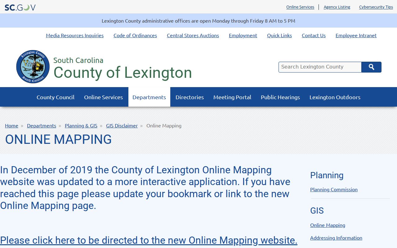
Map geometry supplies context, but the county does not present it as a survey or a current household directory.
Lexington Neighbor Counter Handoff
When an online map leaves a parcel question unanswered, Lexington County has an unusually practical counter route. The Administration Building at 212 South Lake Drive places the Assessor on the second floor, with the Register of Deeds, Planning and GIS, and Assessor Tax Mapping on the third. The Treasurer and Delinquent Tax functions are on the first floor. A researcher who has a physical address can ask the proper desk about a tax map number, assessment record, mapping issue, or recorded-document access without confusing the roles of the offices.
The useful handoff is the parcel’s TMS or legal description. Bring that reference from OneMap or the property card to the next office. County pages list normal office hours as Monday through Friday, 8 a.m. to 5 p.m., but a particular counter’s procedure can change, so call first. The ROD records land documents; it does not conduct title or lien searches and does not give legal advice. The Assessor maintains ownership and tax-mapping records, not a list of all neighbors.
Lexington Neighbor Parcel Flow
Keep a Lexington neighbor search bounded to the immediate block and to official parcel clues. The sequence below turns a focal address into a small set of property records without making claims about people who may live there.
- Locate the focal address, road, or TMS in OneMap and verify the parcel shape and street frontage.
- Click each adjoining parcel and record the TMS or literal map attributes the viewer displays.
- Open each selected TMS in Lexington County Property Search and compare the situs, tax owner, correspondence field, and legal description.
- Use the legal description, deed book/page, or recorded plat as a lead for the ROD, then confirm any material fact with the custodian.
For a longer route along a named road, use the separate Lexington street-address directory rather than stretching a block search into a whole-street claim.
Lexington Neighbor Plat Context
A recorded plat can explain lot, block, subdivision, and street relationships that a postal address cannot. Lexington County’s subdivision guidance says plats are reviewed and approved before recording. It also says developer restrictions and covenants are usually recorded with the Register of Deeds. A plat or restriction may help explain the physical block, but it does not produce a membership directory for a private association.
For an address question, the county’s Planning and GIS / Addressing office is the appropriate route for map or addressing context. A ZIP code or postal city does not establish the municipality that keeps permits, zoning, or other local records. Confirm whether the parcel lies in the Town of Lexington, another town, or unincorporated county before approaching a local office.
Lexington Neighbor Community Contacts
Private associations choose what contact information to publish. The research verified an Avenues or Cayce Avenues Neighborhood Association as a City of Cayce event partner, plus references to Saluda Gardens Neighborhood Association and Guignard Association in West Columbia material. These are examples of community organizations, not a countywide directory or proof of a public member roster.
| Avenues or Cayce Avenues | City of Cayce event-partner reference; use the organization’s own public channel for voluntary contact details. |
|---|---|
| Saluda Gardens | West Columbia source reference; no current membership roster was verified. |
| Guignard Association | West Columbia source reference; treat it as community context, not a household list. |
The City of Cayce source confirms the event-partner context for the Avenues association.
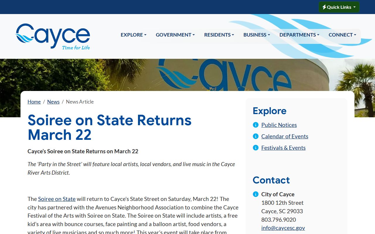
Use public association information for local context, not to infer who belongs to a private group.
Lexington Voter Lookup Boundaries
The MySCVotes service checks an individual’s own registration. It asks for county, first and last name, date of birth, and the last four digits of the user’s Social Security number. It is not a tool for browsing a block. A separate state voter-list channel has eligibility, pricing, and statutory rules for a qualified registered South Carolina voter, including the restriction on commercial solicitation in S.C. Code § 30-2-50.
MySCVotes displays the identity-gated access design for the individual service.
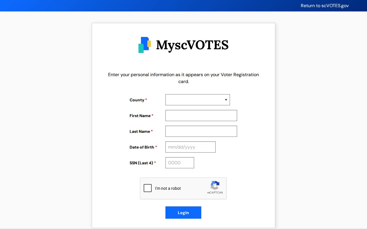
A privacy-protected or inactive record must be left alone rather than reconstructed from other sources.
Lexington Neighbor Jurisdiction Checks
A postal city or ZIP code does not decide which office keeps a local address record. Lexington County includes the Town of Lexington and other municipalities, and an incorporated town can retain its own permit, zoning, code, police, court, or utility files. Before asking for an address-linked record, determine whether the parcel is in an incorporated jurisdiction or unincorporated county. County Planning and GIS can explain parcel and addressing context. A town office can explain its own records practice.
For an address inside Town of Lexington limits, the town’s NextRequest FOIA portal is the verified online route for an existing municipal record. The town’s revised form has routing choices for Law Enforcement, Building Code, Zoning Code, Finance, Utilities, Transportation, and other records. A focused request identifies the street address, date range, and specific existing file sought. It does not turn a municipal request into a county parcel record or a household roster. Other municipalities use their own custodians.
Lexington Neighbor Source Comparison
Official records show a bounded source and a known keeper. OneMap shows a parcel geometry and selected map attributes. The Assessor’s card identifies tax and property fields. The ROD preserves the recorded land-document trail. Each can be checked with the office that maintains it. A commercial neighbor-search category may combine stale, incomplete, or mixed-identity material without showing how a field was collected. It cannot replace an original county source for a family, estate, civic, safety, or scam-verification question.
Use the narrowest source that answers the question. A plat can explain lots. A property card can explain a tax owner and parcel. A voluntary association contact page can show a published community contact. None establishes every person on a block. That division is especially important when a field is absent, because a protected record or a private household detail should remain outside the search.
Map a Lexington Neighbor Block
The adjacent-parcel method makes the limit visible. OneMap can identify the subject and adjoining tax parcels. Property Search can then open a separate card for each TMS. If a recorded document is needed, the legal description, lot, subdivision, or book and page is the handoff to the ROD. The process follows land records, not private household activity.
- Find the address in the county viewer and confirm the parcel before clicking any neighbor.
- Open only adjacent polygons and save each displayed TMS or parcel reference.
- Compare the selected property card’s situs, owner, correspondence, and legal-description fields without treating any one as proof of occupancy.
- Use a deed or plat reference for land-record context, then stop at the boundary of the research purpose.
The record trail becomes broader when an entire road is the question. The Lexington street-address directory follows that street-level method separately.
Privacy Limits for Lexington Neighbors
Parcel, court, voter, and utility records have different privacy rules. A tax-owner entry does not list renters or other household members. Utility and driver-license information are not a public neighborhood roll. South Carolina FOIA exemptions protect sensitive records, while the Attorney General’s Address Confidentiality Program uses substitute mailing addresses for qualifying victims. Do not infer a protected or missing address from fragments in unrelated records.
Official records and commercial tools also do different things. A county map shows the source, parcel boundary, and a limited set of government-maintained fields. A commercial category may combine old and mixed-identity material without supplying the original custodial context. For a family, estate, civic, safety, or scam-verification question, return to the actual office and confirm its current record.
Lawful use. Use block records for personal, civic, estate, family-history, or scam-verification research. Do not use a neighbor record to stalk, harass, intimidate, or harm anyone.