
Lexington County Previous Residents Sources
A backward address trail has separate property and household layers. The Assessor and Planning & GIS identify the current parcel. The Register of Deeds, usually called the ROD, preserves the recorded land instruments. The library and federal census material can help identify households around a date. These records do not answer the same question, and an owner or tax mailing address is not proof that the named person lived at the property.
| Source | Years it covers | Where held | What it can show |
|---|---|---|---|
| Current assessment and GIS parcel record | Current county administration, no historical start year claimed | Assessor and Planning & GIS | Tax map number, current owner, situs, mailing address, and parcel bridge |
| OneMap historic parcel layers | 2000–2025 | Lexington County OneMap | Parcel-boundary comparison, not conclusive ownership history |
| ROD online record data | August 1, 1984 to current | ROD Online Services | Recorded-document index, subject to account access |
| ROD online images | January 1, 1997 to current | ROD Online Services | Available document images, subject to account access |
| ROD counter and older books | No exact older cutoff published | Suite 301, Administration Building | Book, page, plat, and historical-index assistance |
| County newspapers and released census schedules | Named newspaper runs and census schedules through 1950 | Library and genealogy repositories | Household, move, death, estate, and locality clues |
For earlier prior residents, begin with the parcel and present deed, not a loose string search for the modern street number. That method keeps the research tied to the same land even where road names, numbering, postal labels, or municipal boundaries changed.
Lexington County Previous Residents Start With TMS
Use the Lexington County Property Search or the county GIS entry to find the parcel by physical address, owner, tax map number, or deed book and page. The assessor result separates “Address” from “Property Address,” and can show a TMS, owner, legal description, deed book/page, plat, and sale information. Preserve the literal tax map number, legal description, subdivision or lot language, and current owner form. A legal-residence or homestead field is a tax classification at a point in time, not a roster of people at the address.
View the Lexington County ROD coverage source before moving the parcel facts into the land-record chain.
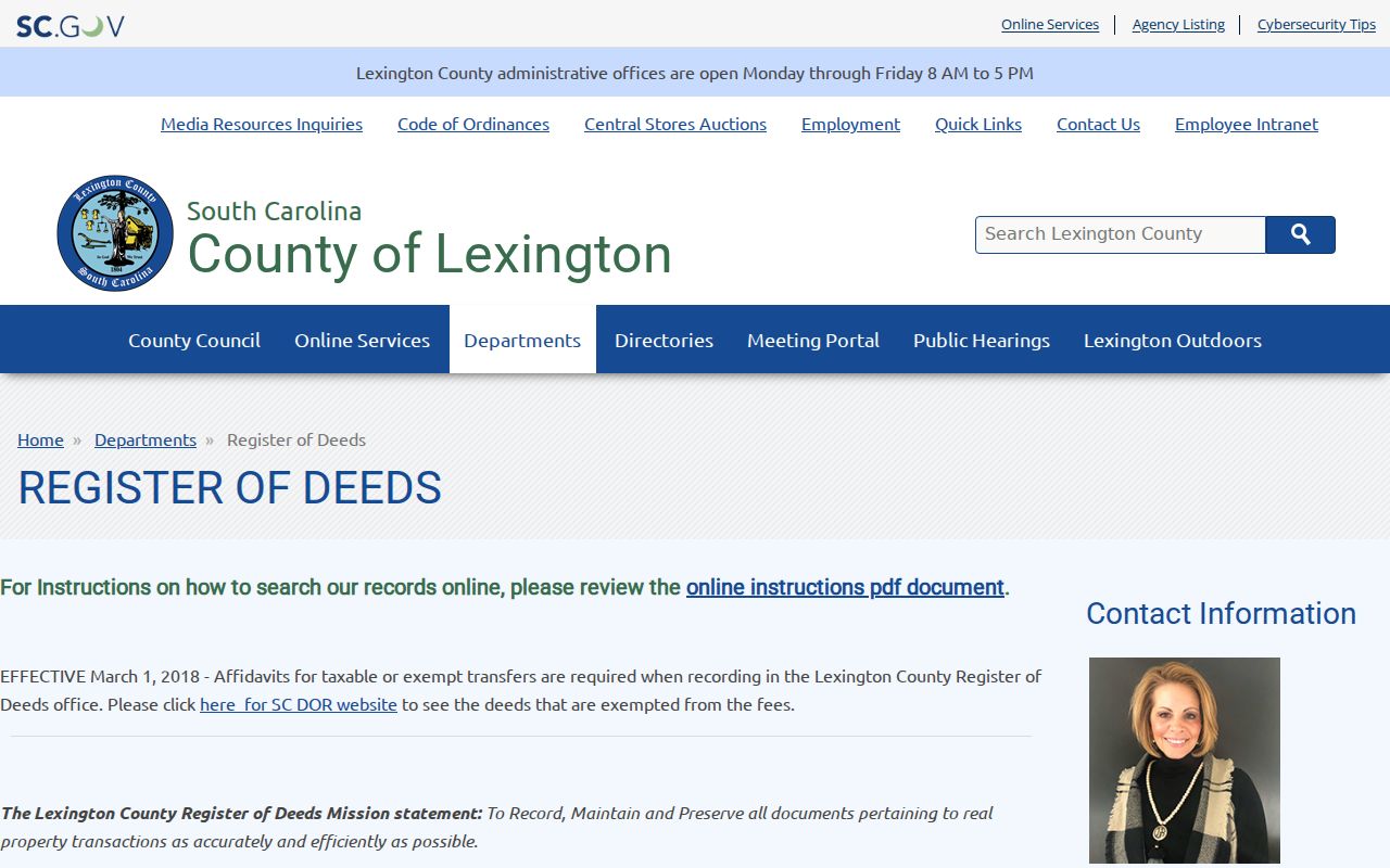
The county ROD is the custodian for deeds, plats, mortgages, liens, satisfactions, powers of attorney, and other recorded land documents. The Clerk of Court directs deed, plat, mortgage, and tax-lien questions to the ROD rather than its own counter.
Lexington County Previous Residents Cutoffs
The ROD’s department page states that record data runs from August 1, 1984 to current and document images run from January 1, 1997 to current. Its vendor landing screen says 1985 to present, but the county’s more specific statement is the safer coverage description. The live ROD Online Services portal has required a username and password since January 1, 2026. An older county PDF describes a former Guest-search sequence, but that is legacy guidance and should not be treated as a current open search path.
Open the current ROD Online Services login to check the present access screen.
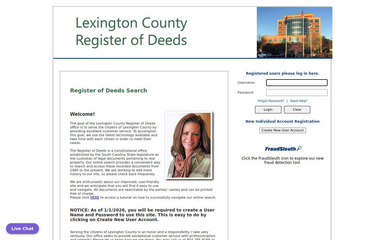
The screen confirms the practical fallback: create and use an authorized account if appropriate, or take the book, page, TMS, legal description, and party names to the ROD counter. Online document printing is listed as free. The current fee sheet lists ordinary counter copies at $0.50 per page and certified true copies at $10 plus $0.50 per page; certified copies must be printed at the ROD office.
Note: The ROD does not perform title or lien searches and does not give legal advice about the documents it preserves.
Tracing Lexington County Previous Owners
A deed chain is a property trail, not a complete occupancy list. Start with the current owner’s acquisition deed. Read the document’s derivation, which is its citation to an earlier record, and its legal description. Then locate the seller, or grantor, as an earlier grantee and compare the lot, subdivision, metes-and-bounds language, tax map number, or other parcel identity before continuing. Similar names and a contemporary street string can lead to the wrong tract.
- Find the current parcel in Property Search or GIS and write down its TMS, legal description, and current owner exactly.
- Use the current owner’s acquisition deed, deed book/page, or instrument citation to locate the recorded document.
- Read the grantor, grantee, recording date, document type, derivation, and legal description before treating it as the same parcel.
- Search that seller as an earlier grantee, then repeat the comparison with the prior deed.
- When an online result or image ends, bring the book/page and legal description to Suite 301 and ask about older books, microfilm, or repositories.
- Grantor
- The party who transfers an interest in the document.
- Grantee
- The party receiving that interest. In a backward deed trail, an earlier grantee can become the next grantor to research.
- Chain of title
- The sequence of recorded transfers tied to the same parcel, checked record by record.
- Legal description
- The lot, block, plat, metes-and-bounds, or other land description that identifies the parcel beyond a changing street address.
Lexington County Previous Residents Estate Bridge
An estate can explain why a property moved without an ordinary sale. Lexington Probate Court holds estate and probate functions. The county’s deed-of-distribution instructions connect a decedent’s legal name, Probate estate-file number, date of death, appointment date, physical address, exact legal description, derivation from the prior deed, tax map number, and inheritor names. That is a useful bridge between the parcel, estate file, and recorded transfer, especially in family-history or heir research.
The bridge has limits. Probate filings must be checked against the actual file, and sealed or confidential material is not available for public use. The ROD will not complete a deed-of-distribution document or offer legal advice. For a document question, use the Lexington County Probate Court for the estate side and the ROD for the recorded land side.
Older Lexington County research can also meet a real records loss. The state archives says that Federal troops destroyed Clerk of Court records created before 1839 in February 1865, including deeds and virtually all probate records. A missing pre-1839 local deed may therefore reflect loss, not a failed name search. The SCDAH Lexington County records guide is the right routing source for surviving series and alternate records.
Lexington County Previous Residents Household Trail
Deeds follow ownership. Previous residents require household sources as well. The library’s South Carolina Room collects local obituary indexes, microfilmed newspapers, census resources, historical papers, maps, family histories, and photographs. It does not publish a dedicated house-history guide or a stated local reverse-directory run. Ask staff whether a relevant title, map, tax-map chronology, historic-property survey, or reverse directory exists rather than assuming the collection has a particular year.
See the South Carolina Room local-history source for the collection and access details.
The library’s confirmed newspaper sequence gives a useful dated bridge: The Lexington Dispatch ran from 1873 to 1916, Lexington Dispatch-News from 1917 to 1919, and The Dispatch-News from 1919 to 1922. A notice can support a move, estate, name change, or death trail, but should be paired with a primary record for a formal land or probate fact.
Use the library’s genealogy resources and newspaper listing to locate the named titles and library database routes.

The released federal census schedules through 1950 add a household and locality layer. Compare the correct community and enumeration district with the dated address clue, not with a modern postal label alone.
Lexington County Previous Residents Maps
Maps can test the physical setting of a prior household, but the verified online evidence is narrow. The Library of Congress provides a free, two-sheet September 1906 New Brookland, Lexington County Sanborn map. It is a real location-specific map, not proof of a complete countywide Sanborn series. The library has not published a stated Sanborn run, reverse-directory run, house-history guide, tax-map chronology, or historic-property survey for all of Lexington County.
Use a map with the legal description, plat, deed derivation, and any municipal annexation or road-name evidence. A modern postal street number may be absent from an old deed even when the land is the same. Confirm with South Carolina Room staff whether another relevant map or source exists before adding it to a prior-resident timeline.
Note: A historical map can place a structure or street at a date, but it does not identify every past resident of that address.
Lexington County Previous Residents by Year
For a household timeline, use each source for the limited role it can serve. Preserve the exact spelling and printed address in a verified directory or phone listing, if the library can identify one. Pair it with a released census schedule, then test a move or death with a newspaper, obituary index, probate file, or recorded deed. The historical collections themselves are described in the Lexington County city directories resource, which preserves the distinction between confirmed holdings and unverified runs.
- Start with the most recent verified household clue and record its source, date, spelling, and address as printed.
- Check the nearest earlier and later verified source for a move, changed name form, occupation note, or absence.
- Match the time period to a released federal census schedule and retain the locality and enumeration context.
- Use the local obituary index and named newspapers to test an estate, death, or community move.
- Return to the parcel and deed chain when a household clue must be tied to a formal land transfer.